

Description
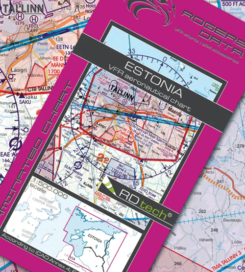
Rogersdata 2026 VFR Charts 1:500,000 – Europe are the 2026 edition ICAO VFR aeronautical charts from Rogers Data, covering countries and regions across Europe. Use the Chart dropdown to choose the country or region you need.
Each chart shows VFR sectors at international airports, temporary reserved airspace (TRA), aerial sporting and recreational activity areas, areas with sensitive fauna, military exercise and training areas, and significant points including border crossing points.
Key features
- Scale 1:500,000, designed according to ICAO Annex 4, EU Commission regulations and AIP
- Clear representation of the ATS airspace structure
- Detailed terrain map with shading and relief
- Airports, aerodromes and heliports with additional information
- Radio navigation aids with name, frequency and Morse code
- TMZ transponder mandatory zones
- Compulsory reporting points, reporting points on request and significant points
- Danger and restricted areas, obstacles or groups of obstacles
- Minimum Grid Area Altitude and an isogonic line model with magnetic variation
- Track, time and distance can be measured at 1:500,000 with the Rogers Data navigation compass 500
Options
The Chart dropdown lists individual charts by country or region, such as Austria, Germany North and South, Ireland, Italy, Spain, Sweden, Norway and Switzerland, each with its Rogers Data reference. Full sets are also offered: Belgium, Luxembourg and Netherlands (2 charts) and Spain (4 charts). Slovenia is listed at 1:200,000.