

Description
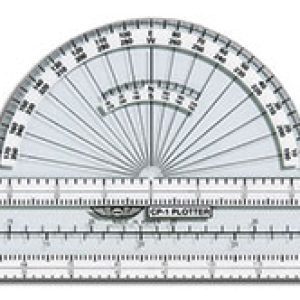
Pocket-sized and simple to use, the RNP-2 from Pooleys gives fast, combined readings of headings and distances on topographical charts. Align the top edge over the proposed track and read magnetic or true headings (zero wind) and distances at the same time.
It incorporates scales for 1:1,000,000 to 100nm and 1:500,000 to 25nm.
Specifications
| Size | Pocket size |
|---|---|
| Scales | 1:1,000,000 to 100nm; 1:500,000 to 25nm |
| Use | Topographical charts |