

Description
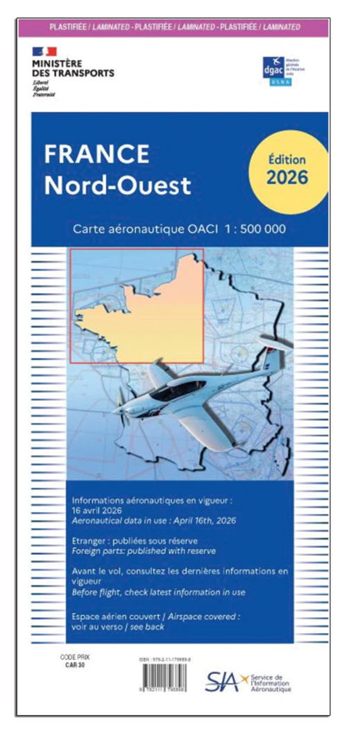
The 2026 France OACI Charts are the ICAO aeronautical charts of France at 1:500,000 (1 cm = 5 km), published each year by the Ministere des Transports with the Aeronautical Information Service (SIA). They are designed for visual flight and carry information provided by the French Civil Aviation Authority (DGAC).
France is covered by four charts: north-west, north-east, south-west and south-east. Laminated versions offer extra durability, like the UK CAA charts.
Key features
- Scale 1:500,000 (1 cm = 5 km)
- Airfields, radio beacons and aeronautical information up to 5,000 ft AMSL or 2,000 ft AGL, whichever is higher, with FL115
- Restricted airspace and danger areas
- Radio navigation information including NDB, VOR, VOR/DME, TACAN and VORTAC locations
- Laminated or paper versions
- 2026 edition
Options
Use the Chart dropdown to select a region and finish: France NW (CFR515 laminated, CFR510 paper), NE (CFR525 laminated, CFR520 paper), SW (CFR535 laminated, CFR530 paper) or SE (CFR545 laminated, CFR540 paper). A full set of four is also offered, laminated (CFR580) or paper (CFR590).