
Home / Charts & Guides / Jeppesen Plotting Charts

Charts & Guides

£39.95 inc VAT

Jeppesen Plotting Charts

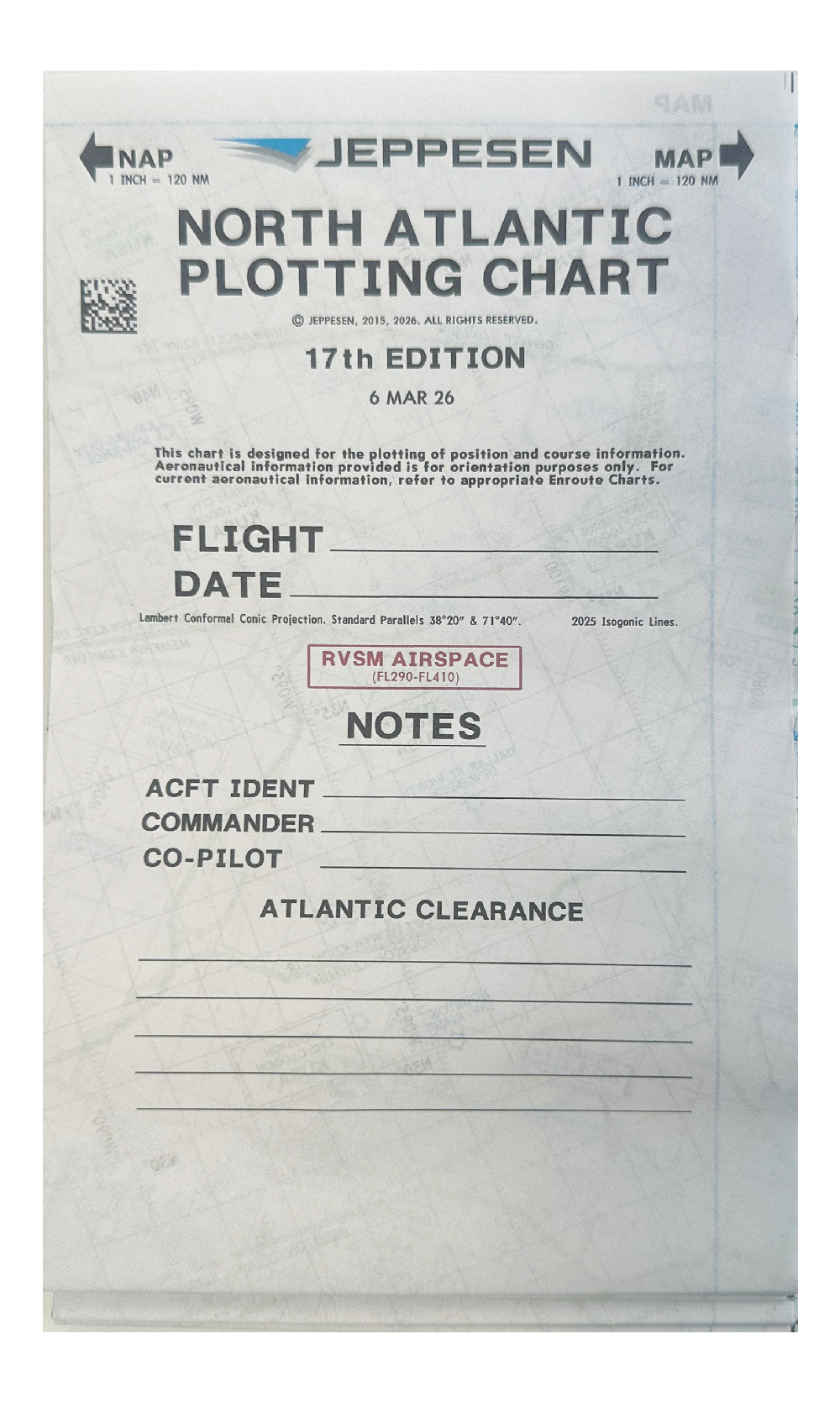
Jeppesen oceanic plotting charts, sold as sets of five for the Pacific, Atlantic and Indian Ocean regions.

Choose an option
Choose an option
Asia / North Pacific / Alaska (set of five) CGE801 N PAC
East Pacific (set of five) CGE801 E PAC
Indian Ocean (set of five) CGE801 INC OC
Mid Pacific / West Pacific (set of five) CGE801 MID PAC
North Atlantic / Mid Atlantic (set of five) CGE801 NTH ATL
South Pacific (set of five) CGE801 S PAC
Clear selection

Description

Jeppesen Plotting Charts are designed for plotting position and course information over ocean regions. They are for orientation only: the aeronautical information shown is not current, so refer to the appropriate enroute charts for up-to-date data. Each option is a set of five.

Specifications

Asia / North Pacific / Alaska CGE801 ASIA (10011798)
East Pacific CGE801 E PAC (10011800)
Mid Pacific CGE801 MID PAC (10011799)
North and Mid Atlantic CGE801 NTH ATL (10011796)
South Pacific CGE801 S PAC (10011839)
Indian Ocean CGE801 INC OC (set of five)

Options

Use the Chart drop-down to choose the region: Asia / North Pacific / Alaska, East Pacific, Indian Ocean, Mid Pacific / West Pacific, North Atlantic / Mid Atlantic or South Pacific. Each is a set of five.

More information

You may also need

Additional information

Weight 0.45 kg
Chart

Asia / North Pacific / Alaska (set of five) CGE801 N PAC, East Pacific (set of five) CGE801 E PAC, Indian Ocean (set of five) CGE801 INC OC, Mid Pacific / West Pacific (set of five) CGE801 MID PAC, North Atlantic / Mid Atlantic (set of five) CGE801 NTH ATL, South Pacific (set of five) CGE801 S PAC

0
YOUR CART
  • No products in the cart.